

Discover the Town of Cobourg's Geographic Information Systems Services
Simply put, Geographic Information Systems (GIS) are digital maps with intelligence. GIS is a computer technology that brings together all types of information based on geographic location for the purpose of query, analysis and generation of maps and reports.
The Town uses GIS in almost every department - for sewer, water, and road projects, urban and regional planning, parks and forestry, emergency planning, preparedness and dispatch, economic development and more. The uses of this technology are limited only by your imagination.
Town of Cobourg GIS maps and apps can be found at Cobourg GIS Hub, click image below to access the new hub!
Where Cobourg is located
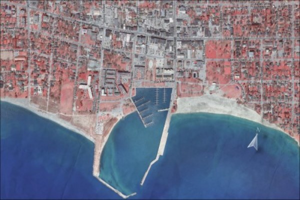
Cobourg is situated in the Canadian Province of Ontario on the north shore of Lake Ontario. It is the largest town in Northumberland County .
Major cities nearby
Cobourg is close to larger Canadian cities such as Toronto, Kingston, Ottawa and Montreal, and US cities in the states of Michigan, Ohio and New York.
Where Cobourg is located in proximity to major waterways
Cobourg is situated on the shore of Lake Ontario, one of the Canadian Great Lakes, which is part of the Great Lakes St Lawrence Seaway System, a waterway passage for ships to move cargo.
Map of Cobourg


